Continuing the Crook County News Since 1884
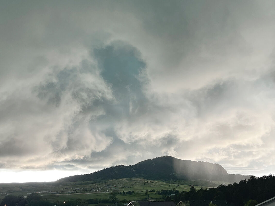
Unsettled weather brings sizeable hail

The unsettled weather continued over the weekend with three days of thunderstorms, bringing plenty of rain and hail. The crescendo was a storm on Sunday night that scattered destructive hailstones across the county.

The region was placed on tornado watch and, for the first time this year, Sundance's warning siren sounded – minutes before an ominous black cloud rolled into view.

The largest recorded hailstones during the storm fell northeast of Aladdin at 2.75 inches. North of Hulett, stones of 1.75 inches were reported.

The hail was accompanied by winds of over 50 mph in some areas of the county. East of Pine Haven, 55 mph winds were observed.

The hail was strong enough to cause damage to homes, vehicles and vegetation, though Crook County escaped lightly compared to Belle Fourche, where there were reports of four-inch hail and torrential rain that took out many a windshield during the storm.

The storm system arrived on June 11, bringing high winds and hail. Winds of 72 mph were recorded in Four Corners and hailstones up to an inch in Hulett and Colony.

Monday saw more of the same, though the majority of the high winds and hail was recorded in South Dakota. Hail of up to an inch in size fell southeast of Sundance in the late evening, however.

According to the National Weather Service, however, the weather front is set to be replaced by a warming trend midweek that will lead to very hot temperatures this weekend, possibly over 90 degrees.